

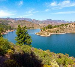
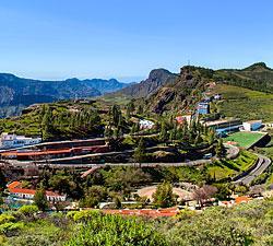


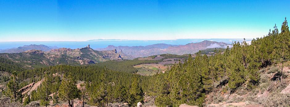
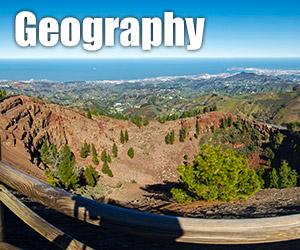
As you approach the mountainous centre of Gran Canaria, you will witness a remarkable view of the spectacular central massif and its commanding high peaks, which you may have already seen from afar. Scenic, narrow roads climb past tiny, enchanting villages, narrow terraced fields, high plateaus, deep ravines and peculiarly-shaped basalt rocks. En route you will pass lush, sub-tropical vegetation including exotic fruit and eucalyptus trees gradually substituted by pines, holm oaks, bushes and shrubs at higher altitudes.
Pico del Pozo de las Nieves, is, at 1,949 metres, the highest point of the island of Gran Canaria and also its centre. Next tallest is the iconic Roque Nublo at 1,813 metres, topped with a basalt finger protruding about 80 metres high and the Roque Bentayga, at 1,412 metres high. The two latter peaks were considered holy places by the first known inhabitants of the Canary Islands, the Guanches, who left many inscriptions, ceremonial sites and granaries in this area.
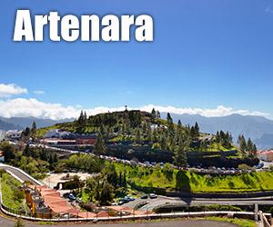
Across the centre of Gran Canaria, visitors will discover archaeological parks chronicling the lives of the island’s ancestors and beautiful nature reserves created to preserve the sensitive ecosystems of these unique landscapes.
It is often much cooler up here and it can get quite misty – the highest peaks often obscured by clouds – but when the weather’s good you’ll be able to enjoy breathtaking panoramic views and you might even have the chance to make out neighbouring islands such as Lanzarote, Tenerife, La Gomera and La Palma.
Our tip:
Be sure to take some warmer clothing as the cloud and altitude can make this part of the island much cooler.