

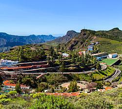


Gran Canaria, along with Tenerife, is located in the centre of the Canarian archipelago. The round island – so called because of its circular shape – is 47 km (29 miles) across and covers an area of 1,560 sq km. Its highest peak, Pozo de Las Nieves (1,949m/6,431 ft above sea level), is situated right in the centre of the island.
Gran Canaria belongs to an area of the Atlantic Ocean, known as Macaronesia, which includes the Canary Islands as well as the archipelagos of Madeira, Azores and Cape Verde. The nearest point on the African coast is approximately 210 km (131 miles) away, while Cádiz, the closest port on the European continent, lies about 1250 km (781 miles) north of Gran Canaria.
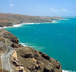
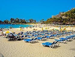
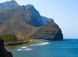
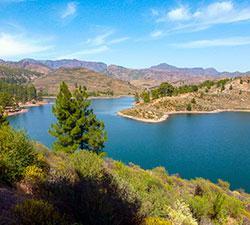
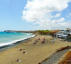
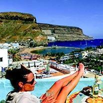
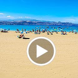
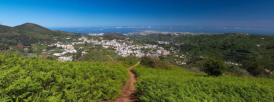
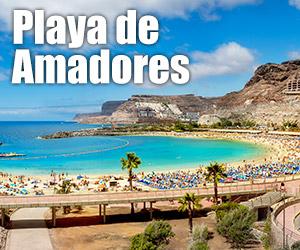
Gran Canaria, which is the third largest island of the Canaries, boasts 236 km (approximately 147 miles) of coast with sandy beaches, predominantly concentrated in the southeast. This is where you’ll find the famous beaches of Playa del Inglés and Maspalomas with its amazing sand dunes. Cliffs dominate the south western and western coasts, whereas the coastline of the north and northeast offers more diverse pleasures, including a wide variety of beaches and coves. The mountainous centre of the island features a few high peaks and many gorges radiating out towards the sea.
Coves and beaches, impressive cliffs, hidden corners, magnificent mountains, stunning craters and amazing ravines with their lush, sub-tropical vegetation and natural reserves represent some of the many natural delights, which mark Gran Canaria’s personality … a land of many faces.

Note:
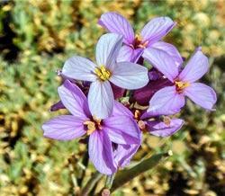
Mother Nature was generous with Gran Canaria, endowing it with all types of beautiful landscapes, which attract a diverse range of tourists. When travelling in Gran Canaria you will discover many oases emerging from the dry and arid environments.